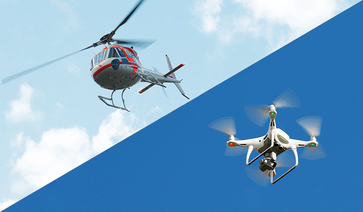
We, AERO ASAHI, are strong at UAV, Air Mobility business, high-precision drone surveys, Flying Mobility, etc.
![]()

A new fusion of aviation and geospatial information
AERO ASAHI 's start-up: Air Mobility business
Accuracy in survey technique and rich experience in helicopter operations
By combining these two elements, we provide an entirely new business model.
OUR FOUR BUSINESSES
-
Flying Mobility
- eVTOL operation
- Port consulting
- Participation in public-private councils
-
UAV Survey
- 3D laser scanning
- A survey by unmanned fixed wing
- UAV consulting
-
Safe flight operation related
- Safe flight operation planner
- Safe ATM (UTM)
- Flight operation training
-

RPAS
- RPAS support for operation and maintenance
- Participation in JRPAS
NEWS
| Flying Mobility 2023.06.29 | Aero Asahi Corporation participated in an event held by Joby Aviation to celebrate the completion of the first aircraft to roll off Joby |
|---|---|
| Flying Mobility 2023.02.17 | 【press releases】AERO ASAHI AND JOBY AVIATION PARTNERSHIP TO DELIVER SHUTTLE SERVICE FOR TOYOTA |
| Flying Mobility 2022.03.07 | Demonstrated “Air Mobility Integrated Flight Management”, platform business in Osaka |
| Flying Mobility 2021.09.09 | We participated in a demonstration project to realize "Flying Mobility" (open call by the Osaka Prefectural Government), and it was selected. |
| Air Mobility survey 2020.12.24 | Cooperating with a UAV for Capsule collection of Asteroid Explorer Hayabusa2 |
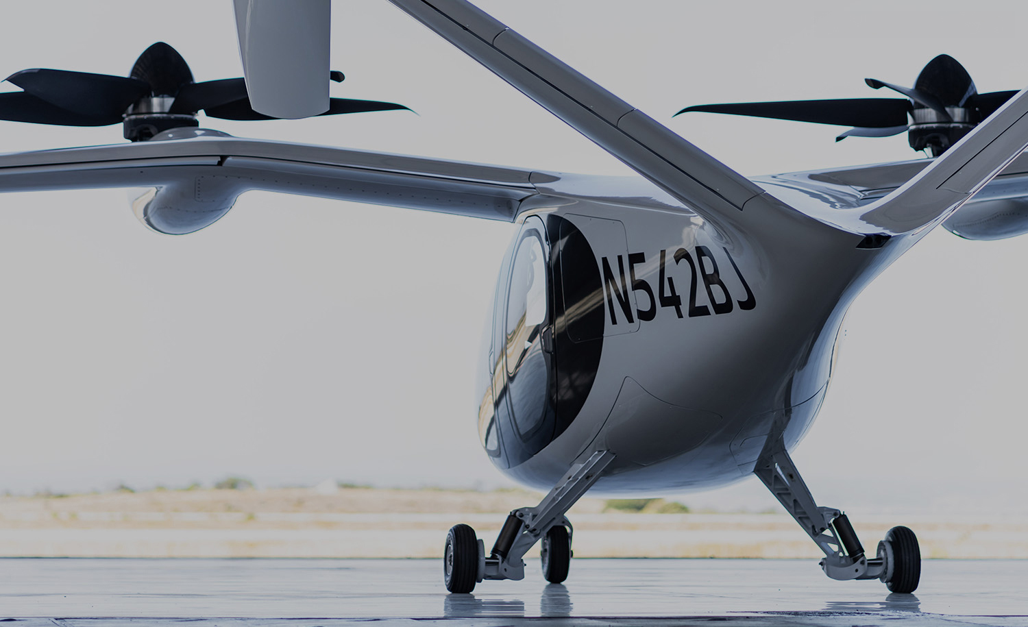
FLYING MOBILITY
New mobility "Flying Mobility" are expected in the future.
We also develop advanced services in this field.
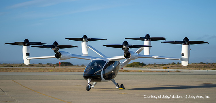
 Courtesy of JobyAviation. (c) Joby Aero, Inc.
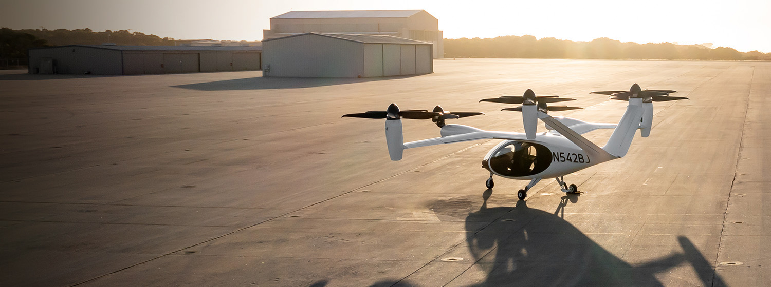
eVTOL operation
As a leading helicopter operator,
we work on eVTOL commercial operation
Flying Mobility port consultant
We provide port consultant services for Flying Mobility by utilizing our experience as
a helicopter port consultant and our knowledge of helicopter operation.
We support safe port design and operation by using 3D data.
Courtesy of JobyAviation. (c) Joby Aero, Inc.
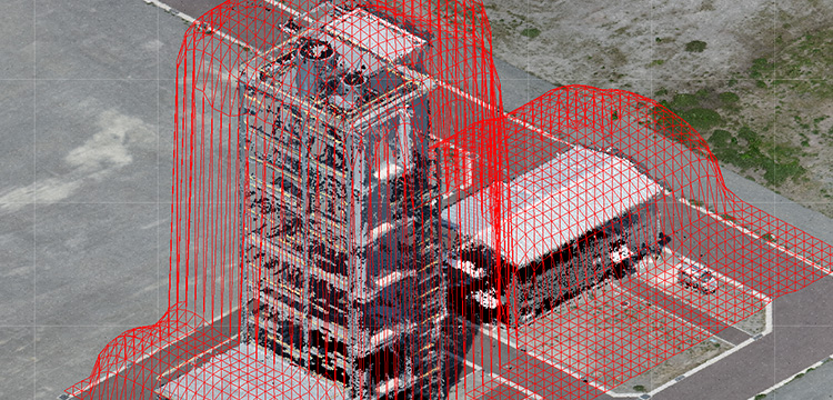
Port consulting for Flying Mobility
by digital twin
3D point cloud data and gliding simulation by using digital twin technology From flying car ports(V ports)land selecting to gliding simulation, We, Aero Asahi provide V port consulting with our geospatial information technology.
Simulation image of V port using 「VIRTUAL SHIZUOKA」3D point cloud data,
Shizuoka Prefecture
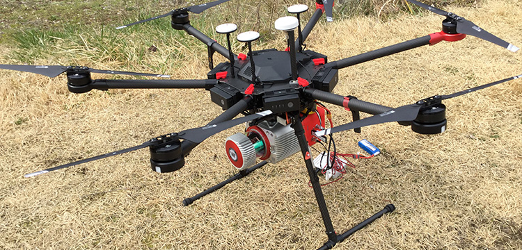
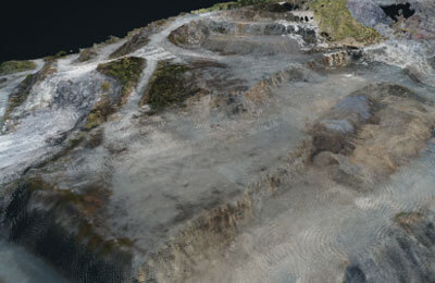
UAV SURVEY
We provide high resolution data with the latest sensor technology.
UAVs equipped with various sensors support all genres,
from multi rotor type drones to fixed wing types.
-
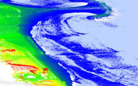
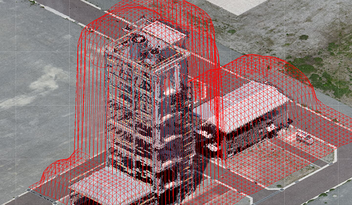
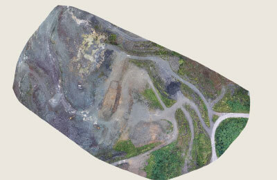
3D laser scanning
Survey 3D data of the land area in super accuracy. UAV's mobility advantage and detailed point cloud support for various solutions.
-
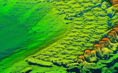
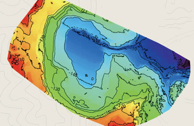
Green laser scanning measurement
Enables 3D data survey of water areas (shallow water) that could not be surveyed in the past. UAVs can efficiently survey the data from both land and water areas.
-
UAV consulting
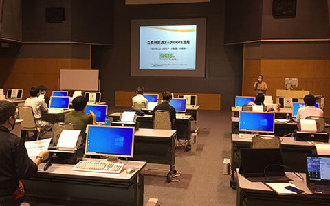
We provide various UAV consulting services, such as suitable flight planning for drones, operation training and manual creation for safe flight operation.
UAVs equipped with various sensors
-
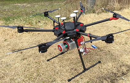
Multicopter equipped
with the laser scanner -
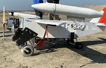
Unmanned fixed wing equipped
with the laser scanner -
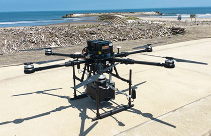
Multicopter equipped
with the green laser scanner
SAFE OPERATION
With our knowledge and experience in operating helicopters and UAVs,
we support safe flight operations by using the latest 3D surveying technology.
-
Safe flight operation planner
Clearances with ground objects are essential when creating a flight plan for a UAV. By making a hazardous area model from existing 3D data, we can help you develop a proper flight plan that cannot be safely judged with 2D data.
-
Safe ATM (UTM)・Flight operation training (government/firms)
for government, firms
OTHER PRODUCTS
We provide the cloud service
which auto- processes
the images taken by your own drones.

The latest terrain by automatic processing for anyone at any time Processing and analysis cloud solution that turns aerial photographs into valuable information
What is "KUMIKI"?
-
All you have to do is upload images taken by a drone to a dedicated website, and terrain data can be generated automatically in a short time.
-

Anyone can use it easily without any technical knowledge.
-

Since the data is processed in the cloud environment, there is no load on the PC.
Main features of "KUMIKI”
Automatic and fast data processing
-
Orthomosaice
-
Contour line DSM
-
Point cloud
-

Implementation of various survey tools
Various survey tools are implemented on the website screen, such as distance, height, area, volume, angle, and cross-sectional survey that can be easily used.
-

High-speed display, easy operation, and sharing
Large amounts of data can be displayed smoothly in the cloud environment. You can use it without any stress. The cloud environment allows you to share information when you are away.
-

Easy to download data
You can download the generated data.
- Ortho photo: GeoTiff, PNG
- DSM: GeoTiff, PNG
- Point cloud: LAS
※Please contact us for requests like flying your drone for photography.
※Please contact us for map accuracy.
Professions will answer the best way.
KUMIKI is joint development service with Skymatix, Inc.