

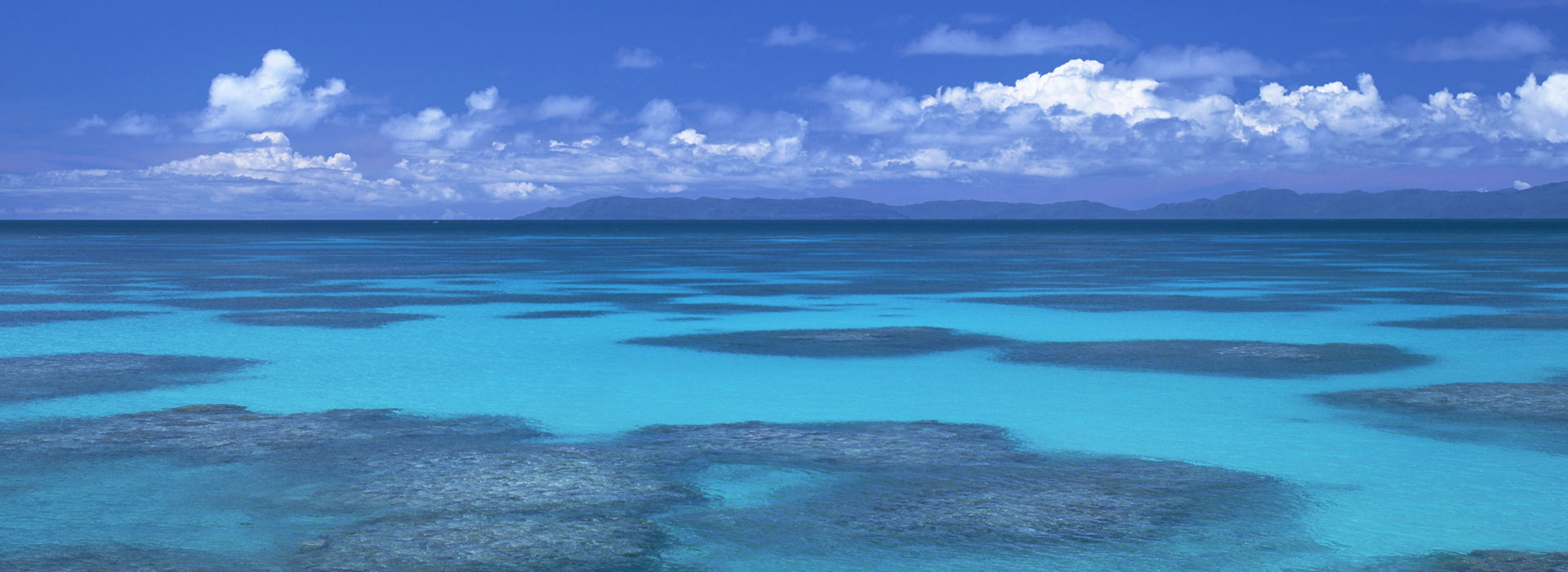
THE OCEAN
- HOME
- > Spatial information infrastructure
- > The Ocean
AAC employs Digital Oceanographic Survey to compile data and information concerning unknown depths of the sea from different angles, and the analyzes and processes the resulting information. Through our comprehensive consulting service, we study the ocean and look for new ways and means to preserve it, to utilize marine resources and to develop recreational marine activities.
POWER AND COMMUNICATION CABLE ROUTE SURVEY
Global Networking
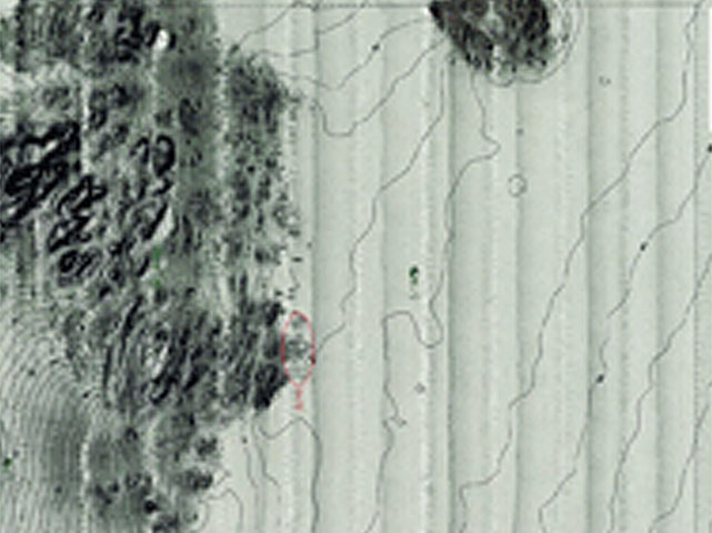
A sludge probe with a narrow multi-beam echo sounder system/seafloor geologic probe to conduct a comprehensive study of the seafloor. The seafloor topographic model is obtained for determining the optimum route for laying marine cables and pipelines by analyzing seafloor environment information.
This image shows an example of using side-scan sonar to study the state of the seafloor surface.
Example
・Japan
Marine Study Accompanying Minami Awaji City Cable TV Installation (2006)
AJC Shima Landing Marine Cable Status Study (2005)
THREE DIMENTIONAL UNDER WATER INFORMATION
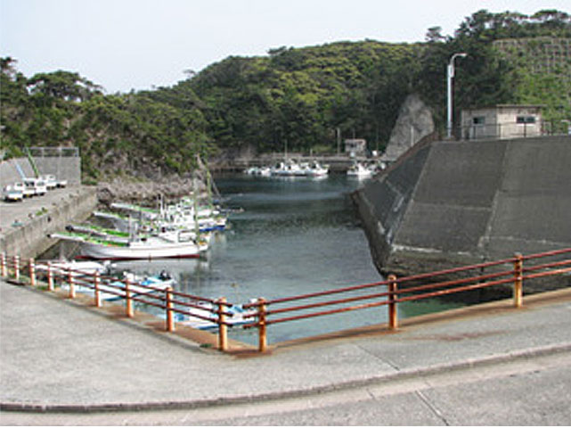
Harbor Floor Assessment
The narrow multi-beam echo sounder system can identify the topography of seafloors and riverbeds and captures three-dimensional data over a wide area in a short time. In addition, this is a hybrid system that is equipped with side scanning sonar to investigate the bottom sediment distribution of seafloors and riverbeds.
The water depth charts, bathymetric images, seafloor/riverbed mosaics, aerial views, hill shading, and other views provided by this system are extremely useful for determining the positioning of wave-dissipating blocks, repair and maintenance of harbor facilities, and salvage studies.
Example
・Japan
Tokyo Bay Entrance Sea Route (Nakanose Sea Route) Bathymetry (2006)
Fiscal 2007 Coastal Protection Measures Project (Coastal Erosion Countermeasures) Miyaumi District Coastal Bathymetry (Narrow Multi-beam Echo Sound) Project (2007)
Copyright © Aero Asahi Corporation. All Rights Reserved.