


FORESTY
- HOME
- > Spatial information infrastructure
- > Foresty
AAC provides data and software programs which ensure the protection of rich forestry resources from indiscreet development and contributes to the sound operation and management of forest.
DRAINinG BASIN PRESERVATION STUDY
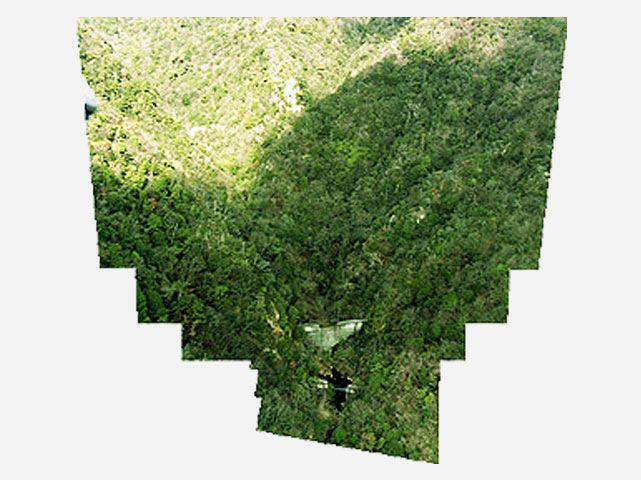
Making the Mountains Green
The reduction of forests and the creation of large areas of bare wasteland accompanying economic development cause water and soil preservation problems and have a serious negative impact on the forest ecosystem. Long-term deforestation causes soil erosion due to deterioration of grassland and makes the land easily susceptible to water damage.
The state of ground cover is analyzed using aerial photograph and satellite image. This data is combined with a GIS to identify the areas requiring forestation to support reforestation plans.
Example
・Overseas
Engineering Consulting Services for the Model Afforestation Project in Sichuan (China:2001)
FOREST RESOURCE SURVEY
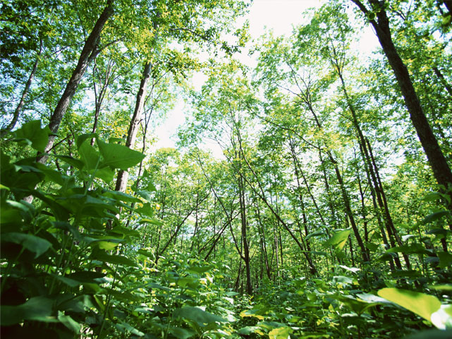
Dialog with Nature
Recent unusual weather, slash and burn and clearing of forests accompanying population expansion, cutting of forests to meet increased demand for fuel, overgrazing and forest fires are causing the loss and deterioration of forests.
Fundamental information regarding forests is used to create vegetation maps and forest management road maps by identifying the state of subject tree growth and original concentration from the high-resolution three-dimensional data obtained from laser surveys and using a hyper spectral camera to identify tree disease and pest damage.
Example
・Japan
The Fiscal 2006 Forest Improvement Project Fundamental Study (2006-2007)
・Overseas
The Study on Cartography, Inventory of Classified Forest in Northern Area (Benin: 1998-2001)
COASTAL ENVIRONMENT STUDY
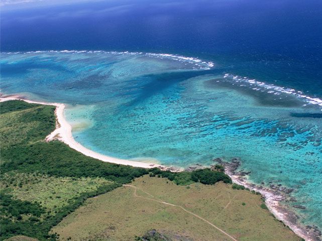
A Blue Ocean Again
Protecting the environment and ensuring economic use of the area requires that the coral reefs, beaches, shoals, mangroves forests, and the organisms living in them are also protected.
Study of the coral reef and shoreline configuration, vegetation, such as sea grasses, seaweeds and mangroves, land use and water quality, turning those into GIS data, facilitates effective preservation.
Example
Study of Seaweed Distribution Accompanying Seaweed Bed State of Reduction Analysis (2004)
・Overseas
Coral Reef Rehabilitation Project in Sulawesi (Indonesia:2000)
Copyright © Aero Asahi Corporation. All Rights Reserved.