

DISASTER MANAGEMENT
- HOME
- > Spatial information infrastructure
- > Disaster management
Since the dawn of time, AAC has received the blessings of nature. Yet at same time, AAC uses its humanity to fight against the threat of natural disasters.
AAC tackles the problem using its unique measurement and observational studies to help airlifts relief aid.
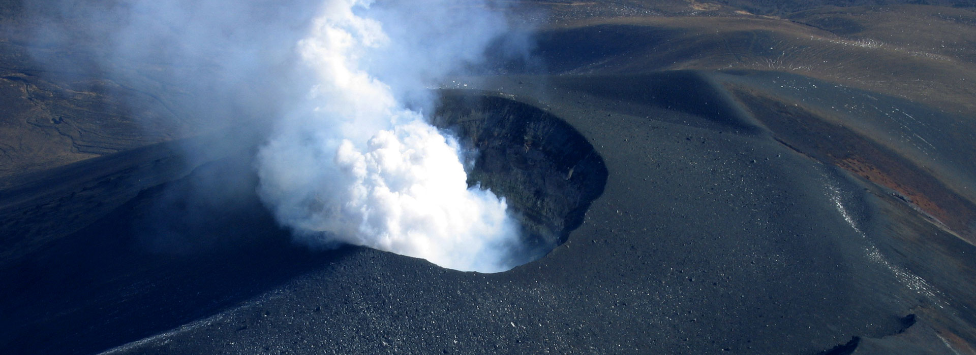
EARTHQUAKE DAMAGE MITIGATION
Hazard & Risk Mapping
Every year earthquakes occur around the world. Map data is an important factor in minimizing the damage they cause.
Maintaining preparedness in times of calm is very important, such as identifying areas where the ground liquifaction easily occur and landslides are in high risk and managing aging buildings that could collapse.
Example
・Overseas
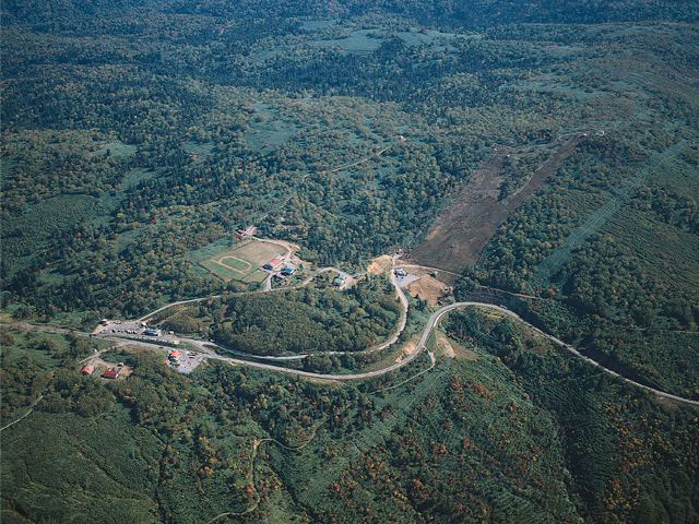
The Study on Earthquake Disaster Risk Management for Almaty City in The Republic of Kazakhstan (Kazakhstan:2007-)
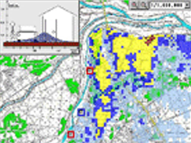
FLOOD RESPONSE
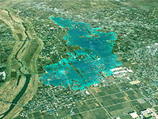
To Avoid Panicking During a Disaster
The detailed topographic data obtained from aerial laser surveys is used to simulate flooding to make hourly predictions of how floods spread. The simulation results and infrastructure information maps are analyzed to provide optimum data for crisis management, such as evacuation routes, evacuation shelters, and affected population.
In addition, stereo matching of aerial photos during flooding is used to analyze surface flow rate and flow direction.
Example
・Japan
City of Fujisawa Flood and Tsunami Hazard Map Creation Work (2007)
TSUNAMI
Protecting Human Life and Property
The topographic data obtained precisely from aerial laser surveys is used to conduct detailed simulations of the extent of floodwaters caused by a tsunami. The simulation results and infrastructure information maps are analyzed to provide optimum data for crisis management, such as evacuation routes, evacuation shelters and affected population.
In addition, ocean radar observation data can be used to forecast tide currents and predict the flow direction, destinations and other information for debris and spilled oil.
Example
・Japan
The Fiscal 2004 Izu Islands Coastal Protection Facilities and Tsunami Countermeasures Study (2004)
Copyright © Aero Asahi Corporation. All Rights Reserved.