


SPATIAL INFORMATION
INFRASTRUCTURE
- HOME
- > Spatial information infrastructure
LISTENING TO THE EARTH’S MESSAGE
Developments in technology are improving our lifestyle at an amazing pace.
Lately, however, the Earth is telling us its message warning that such a fast development is likely to lead serious devastation.
Problems such as deforestation and desertification due to abnormal climates cause adverse effects over agricultural products and other vital to our well-being. To solve these problems calls for advanced technological power as well as worldwide cooperation and action.
At Aero Asahi Corporation (AAC), our mission is to have future generations enjoy the Earth where nature and mankind can share a peaceful co- existence. To achieve this, we exert our best efforts in putting our rich experiences and technological capability to work in providing all sorts of spatial geographic information ranging from space heights to ocean depths.
Our consulting services cover a wide range from living space planning to ongoing maintenance control with emphasis on environmental concerns.In this process, we carefully adjust our services to the local conditions.
-
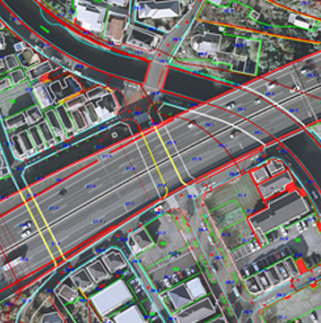
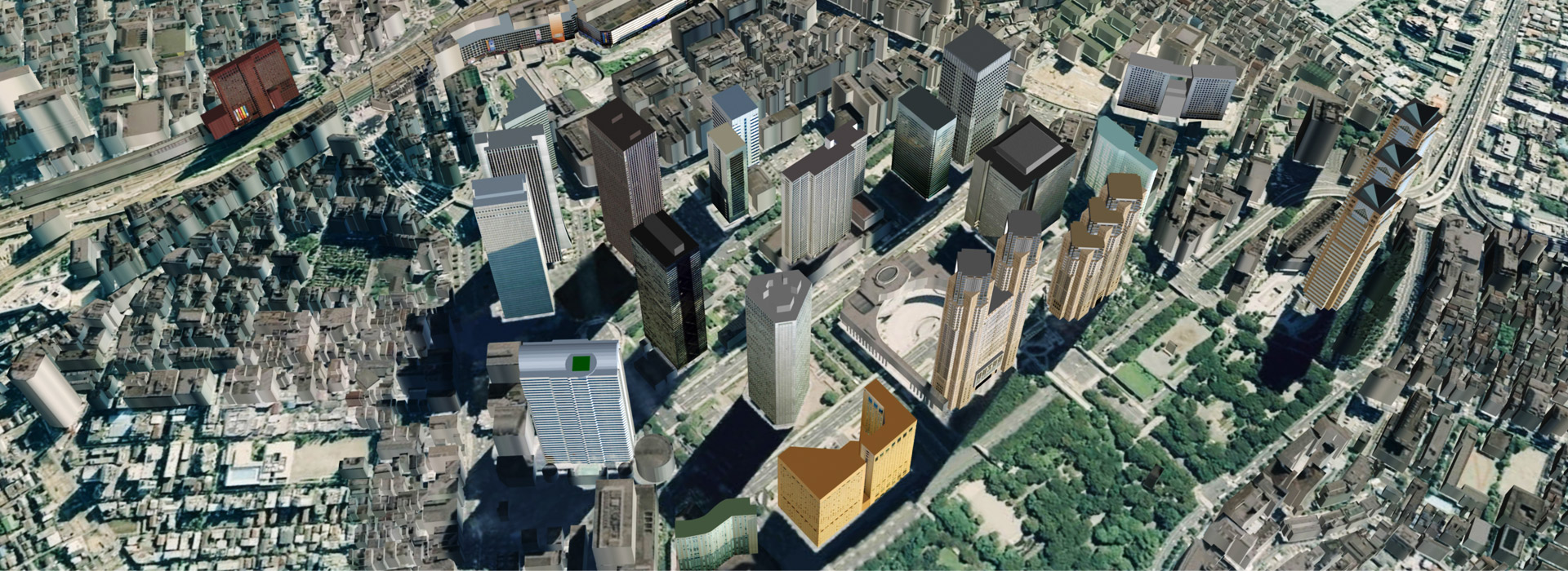
INFRA-
STRUCTUREINFRA-
STRUCTUREThe topographic map is a basic aid for a variety of developmental planning, environmental preservation and disaster prevention planning. AAC prepares national and city base maps as well as other sorts of topographic maps necessary for various planning activities.
-

ENVIRONMENT
ENVIRONMENT
Through digital space photogrammetry, AAC provides fundamental data vital to make a plan to establish a social framework where environment can be restored, preserved and monitored.
-
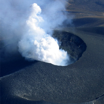
DISASTER
MANAGEMENTDISASTER
MANAGEMENTAAC tackles the problem using its unique measurement and observational studies to help airlifts relief aid.
-
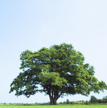
FORESTRY
FORESTRY
AAC provides data and software programs which ensure the protection of rich forestry resources from indiscreet development and contributes to the sound operation and management of forest.
-
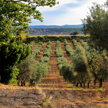
AGRICULTURE
AGRICULTURE
AAC analyzes data acquired through remote sensing, and compiles database for use in promoting conservation, management and cultivation of forests and rivers, as well as development and maintenance control of safe and efficient agriculture.
-

THE OCEAN
THE OCEAN
AAC employs Digital Oceanographic Survey to compile data and information concerning unknown depths of the sea from different angles, and the analyzes and processes the resulting information.
Copyright © Aero Asahi Corporation. All Rights Reserved.